


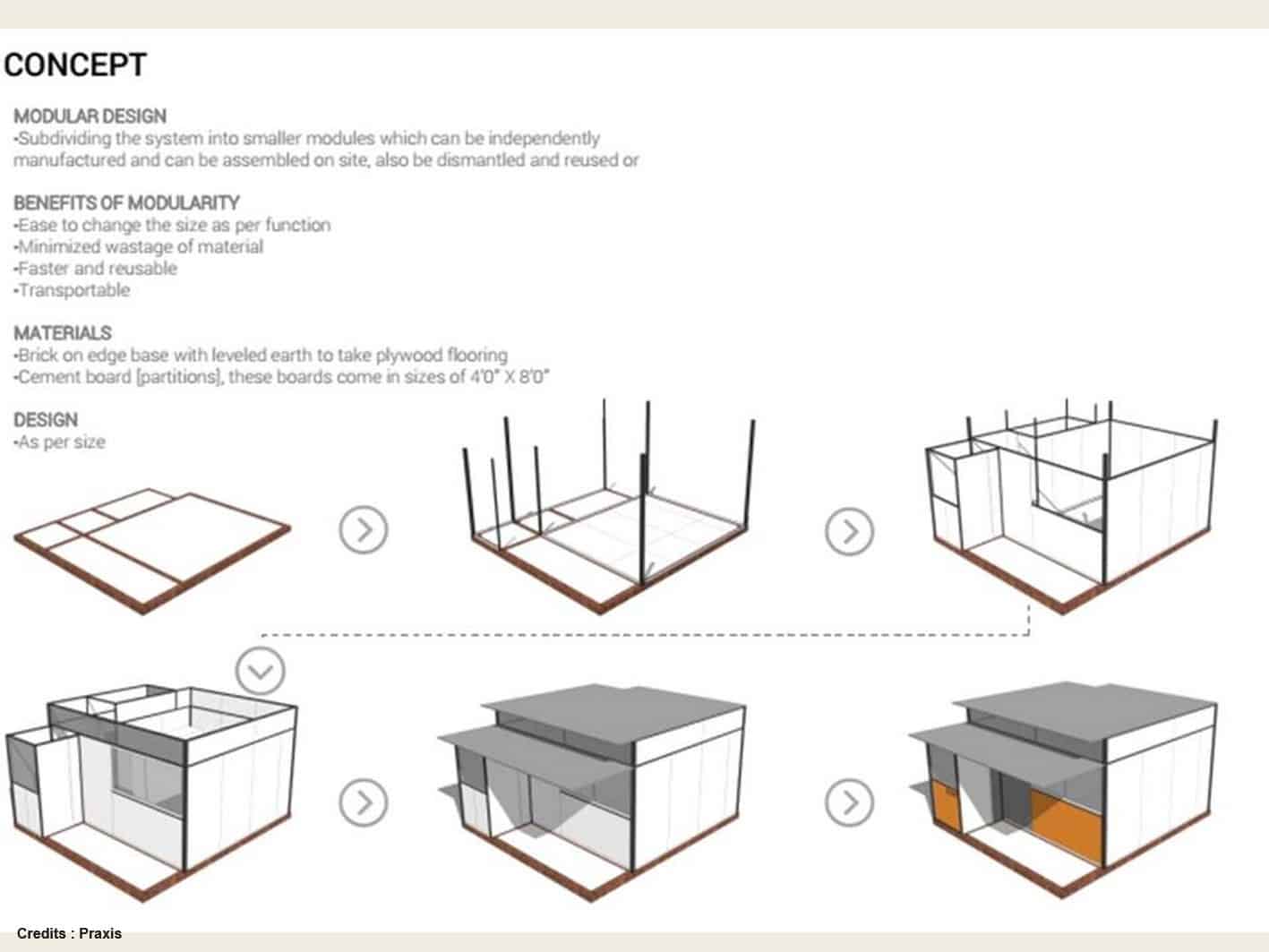


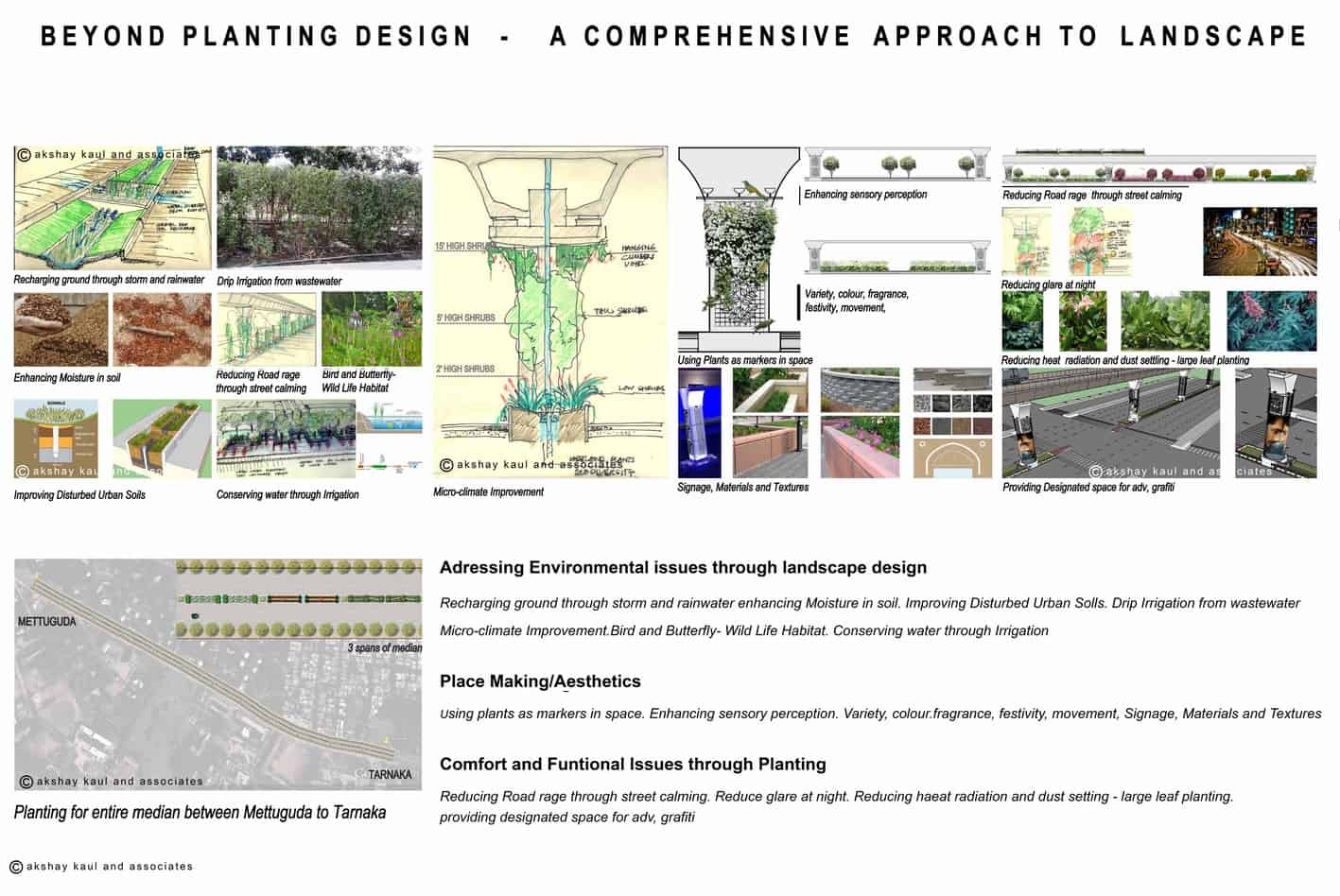
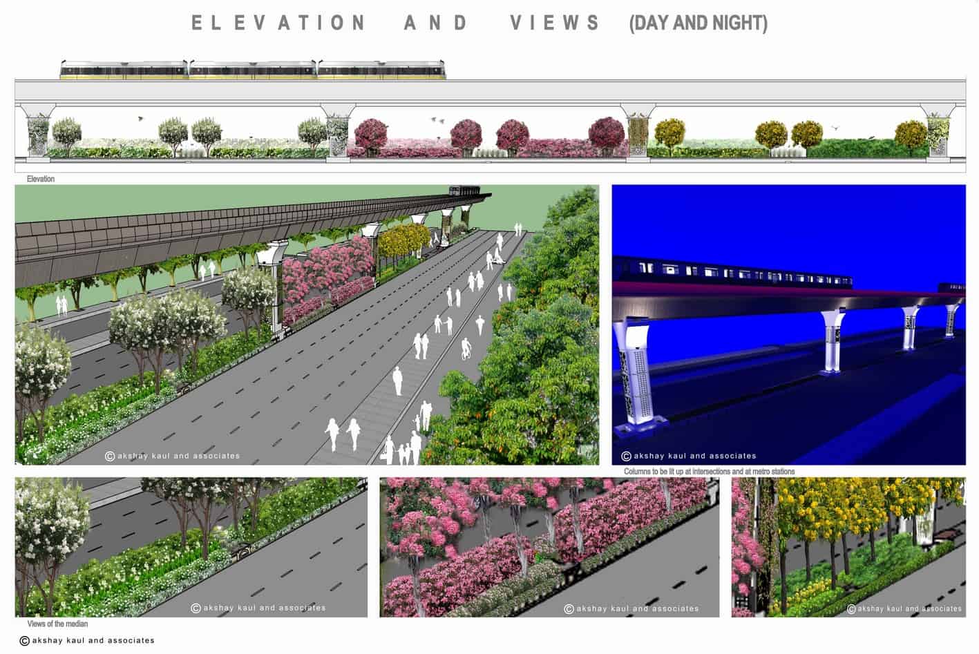
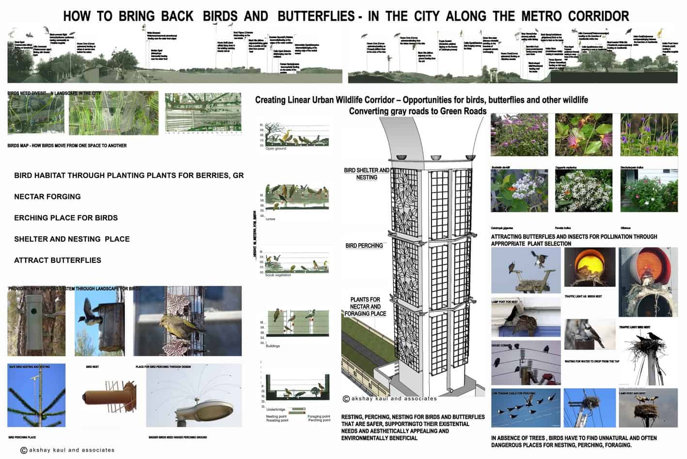
Hyderabad Metro Rail


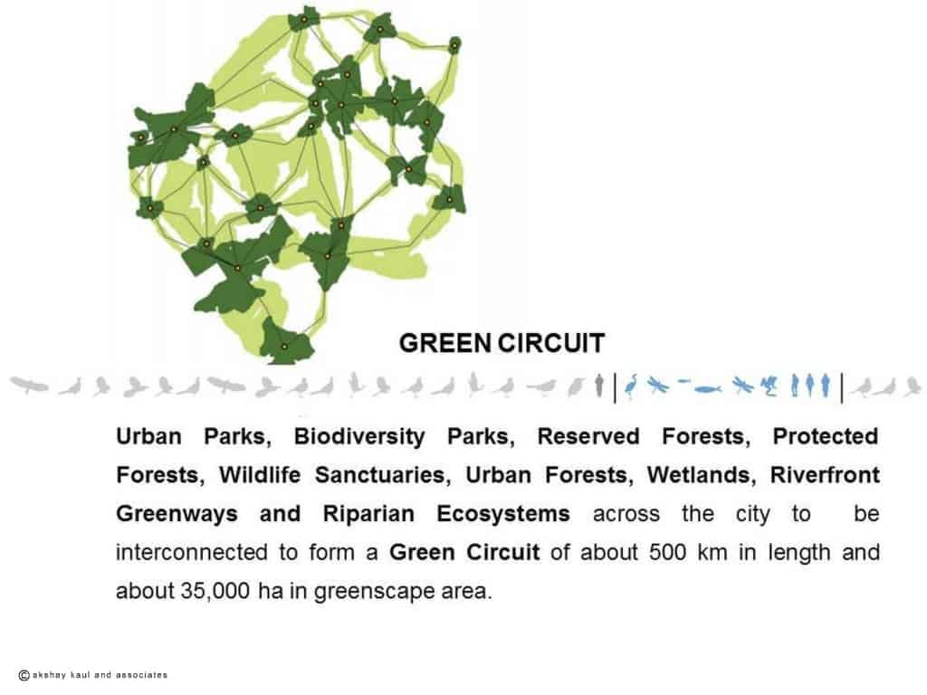
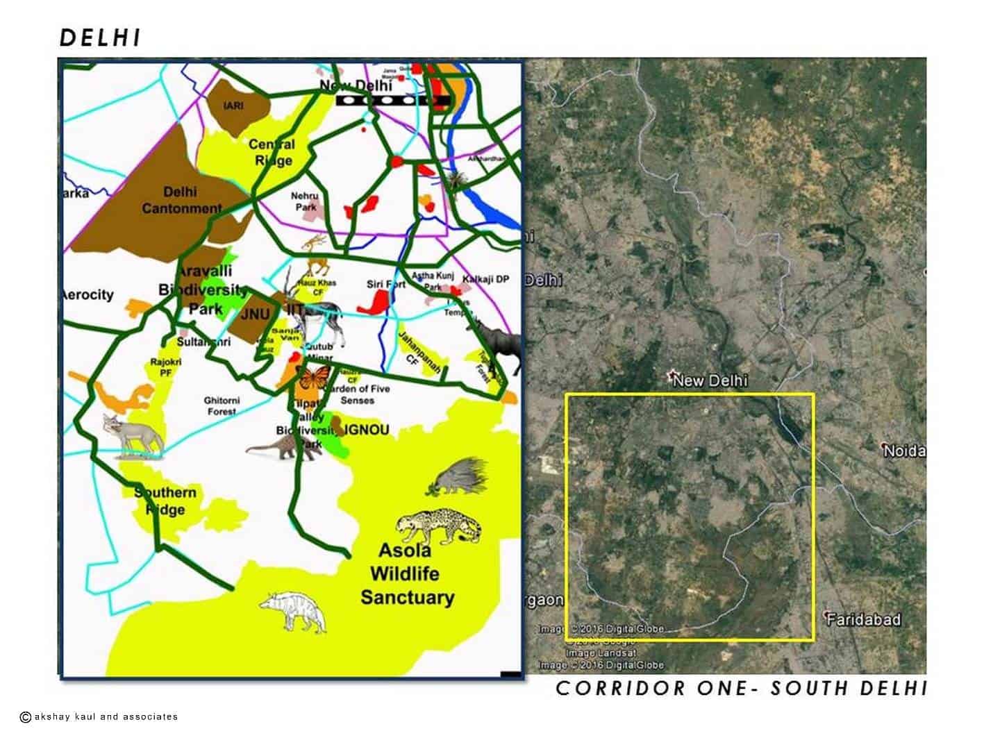
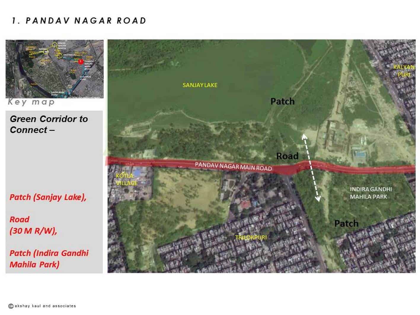
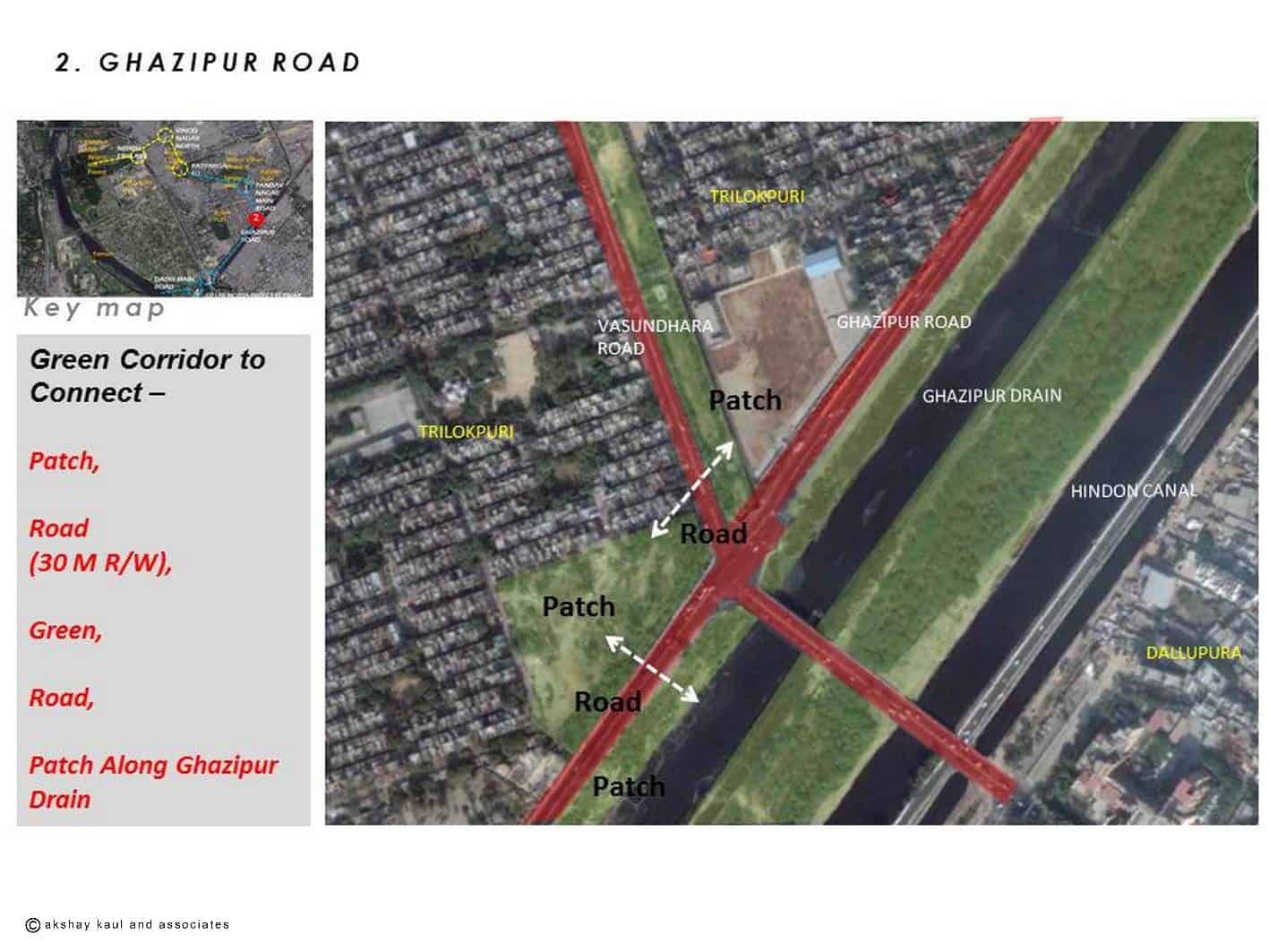
Connecting Delhi Greens


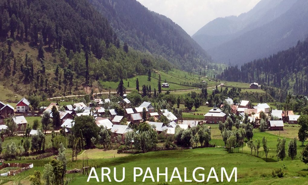
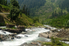
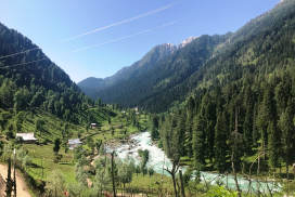
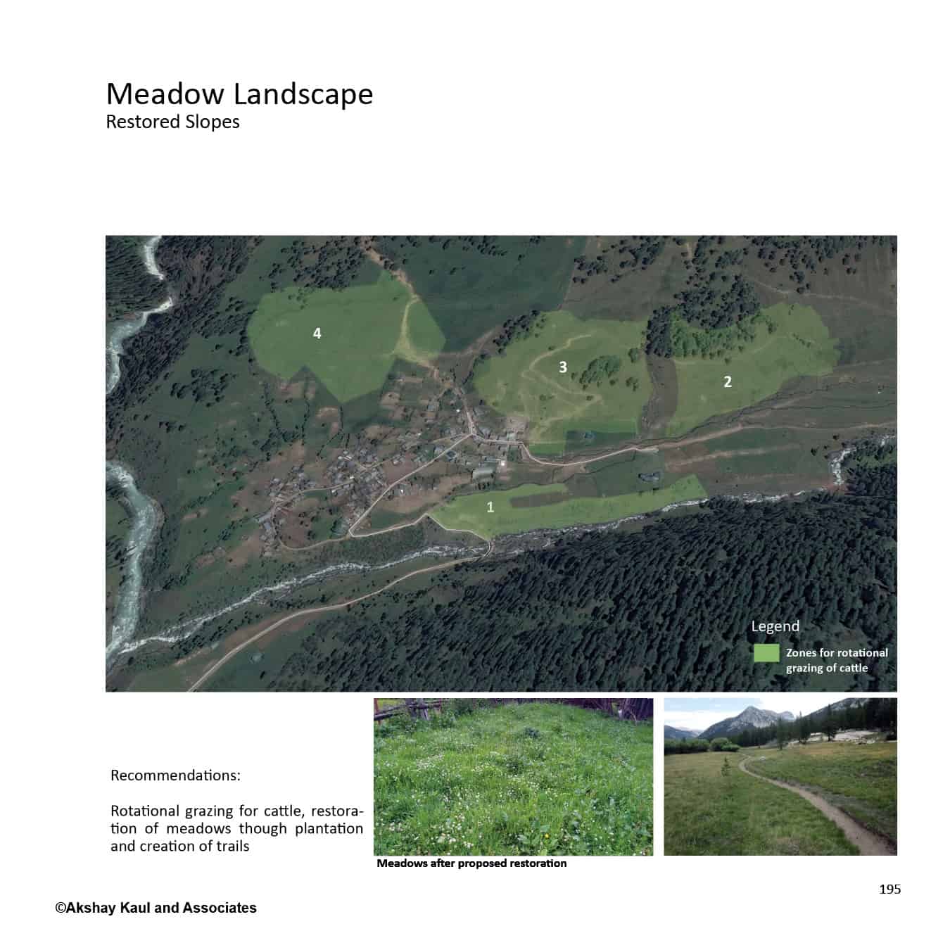
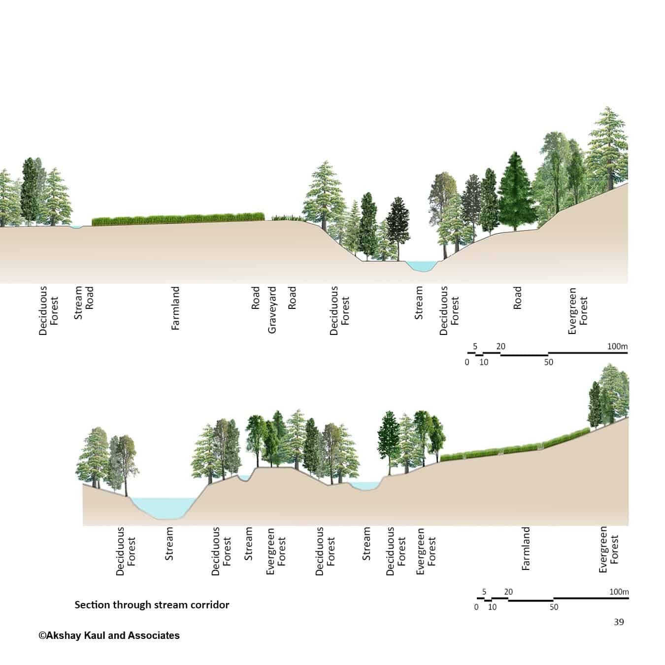
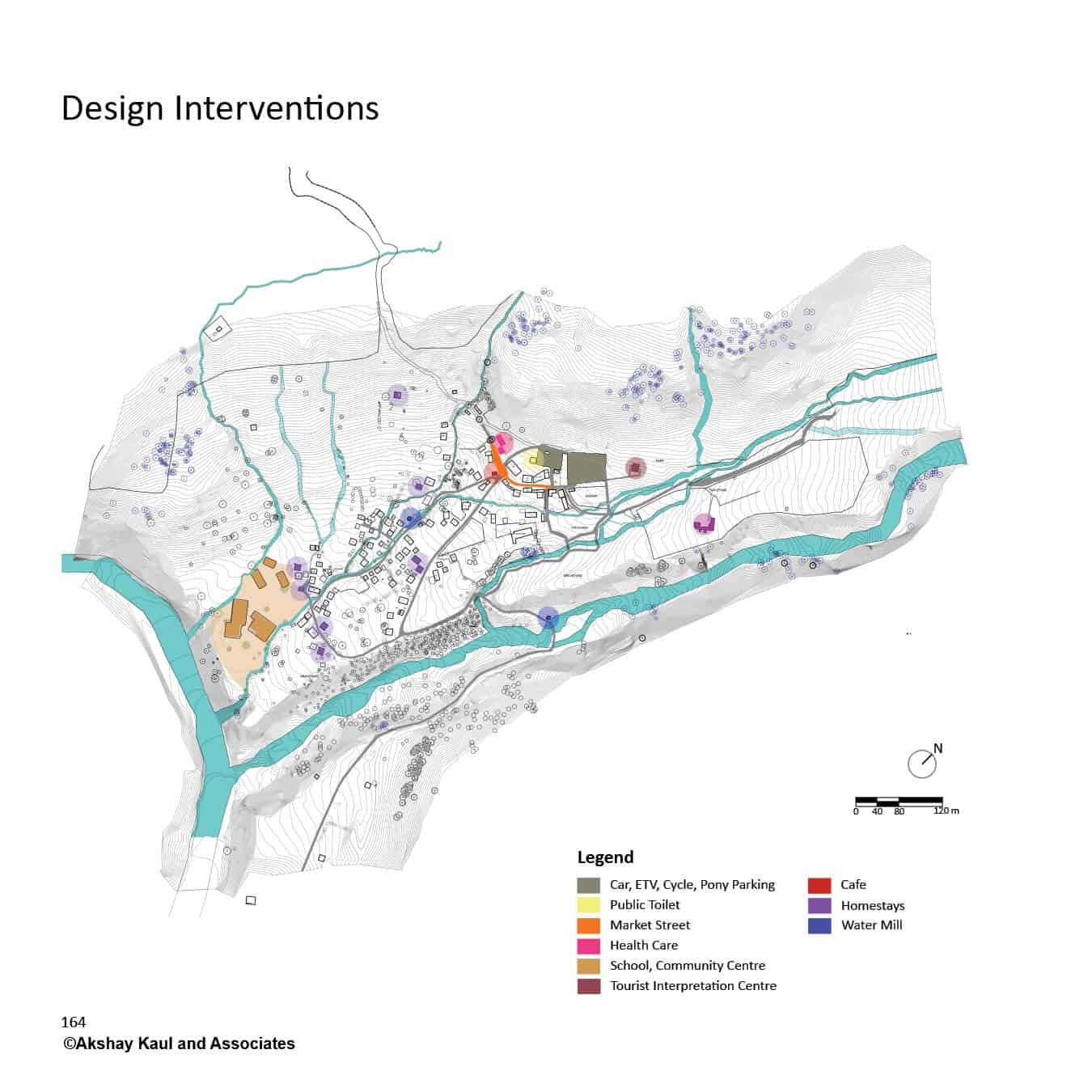
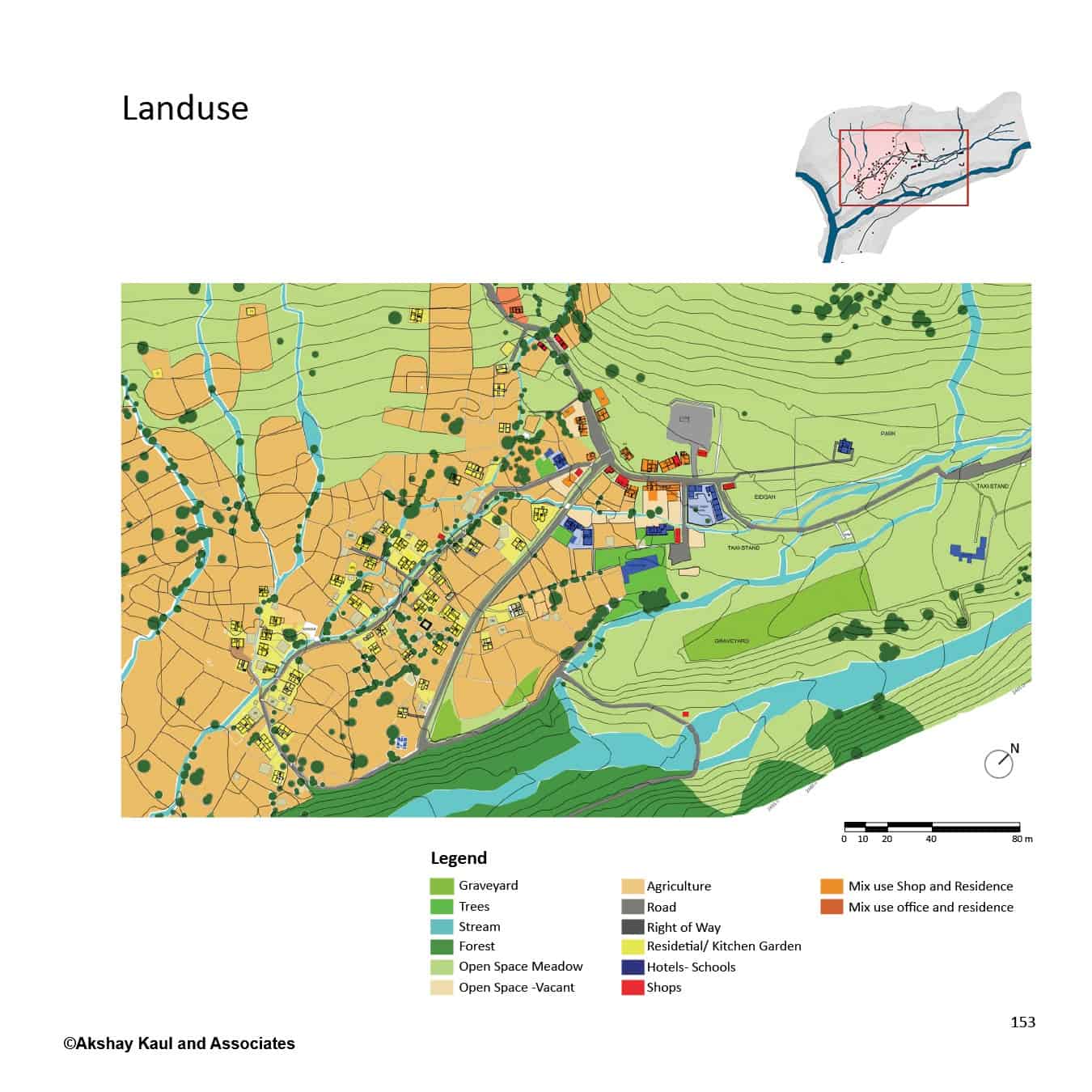
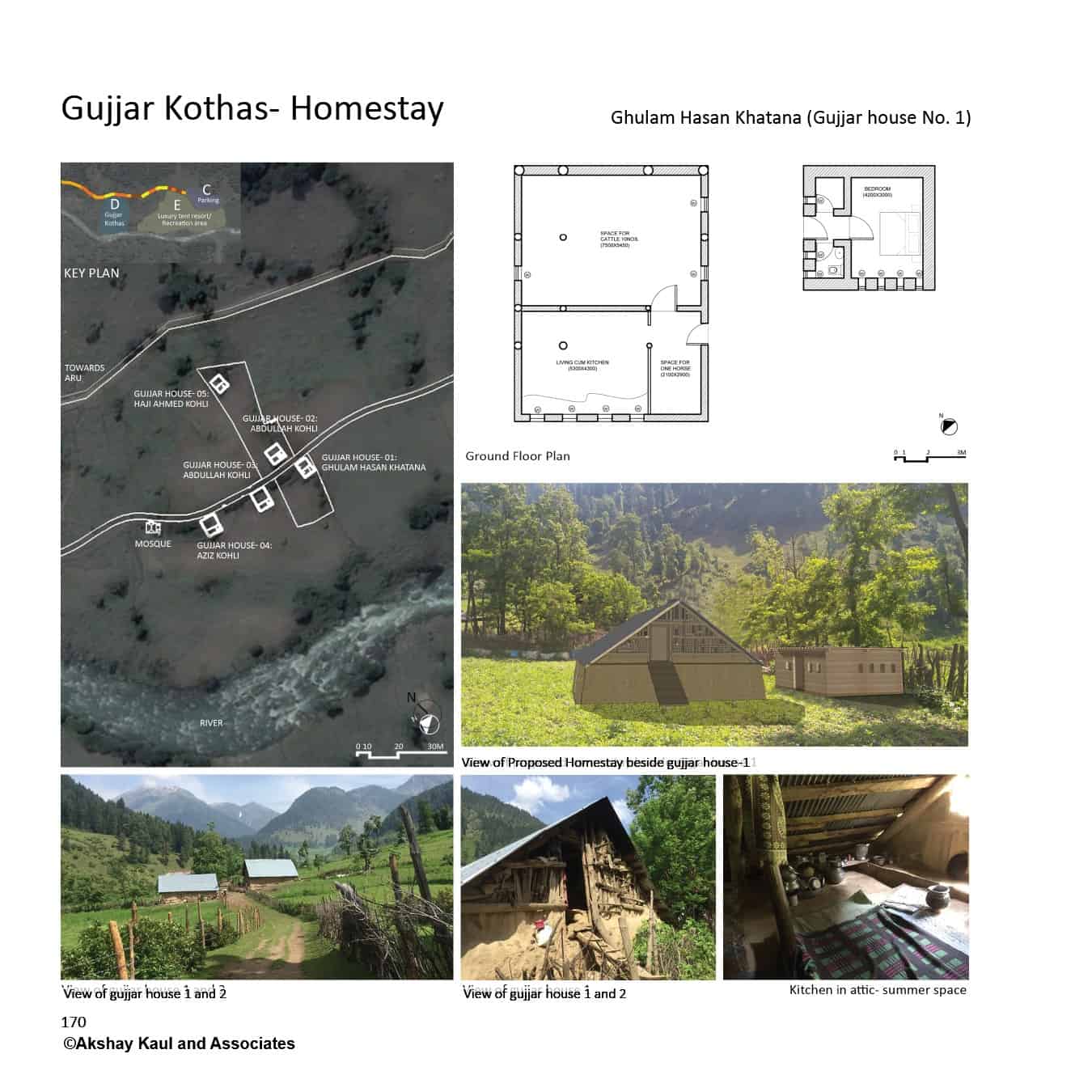
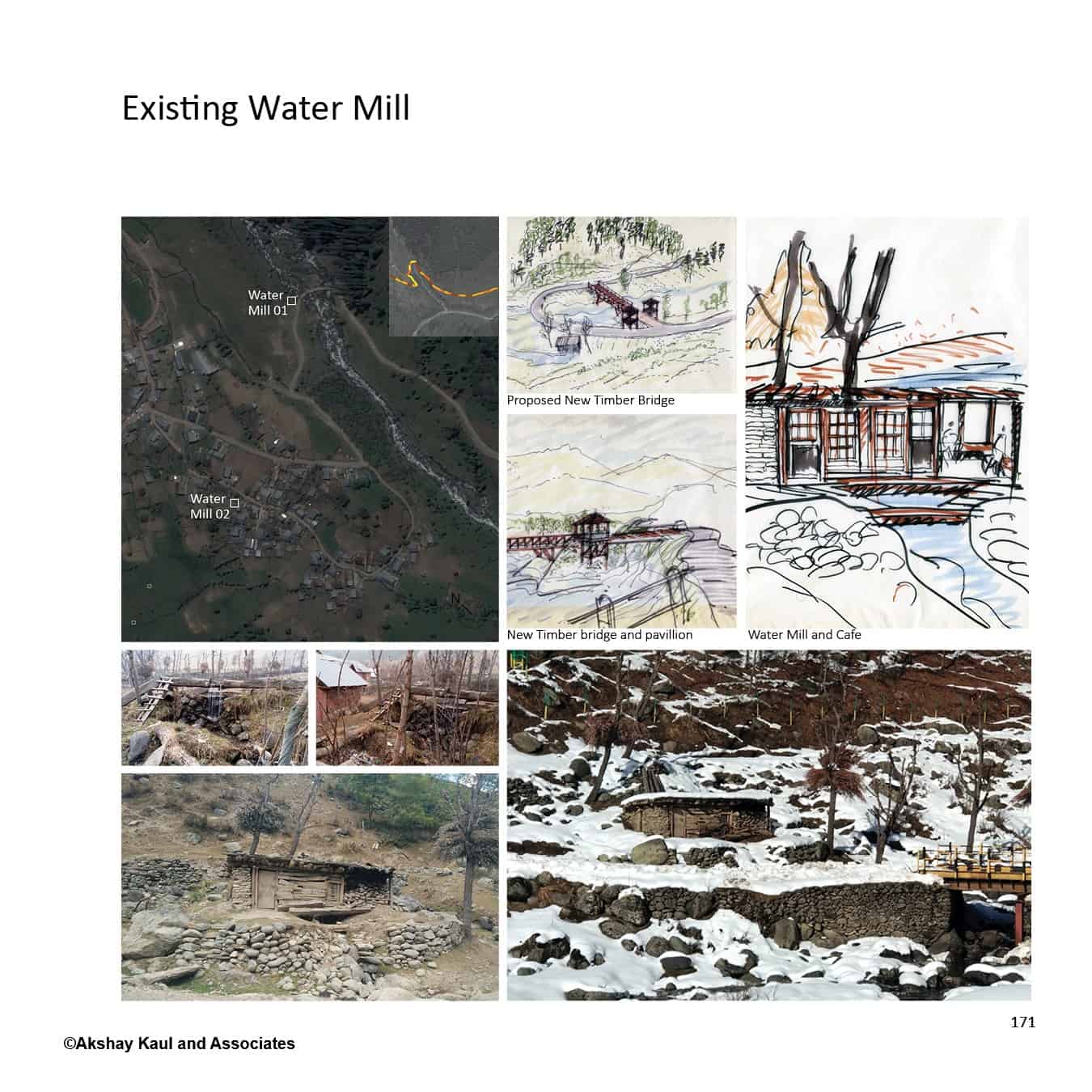
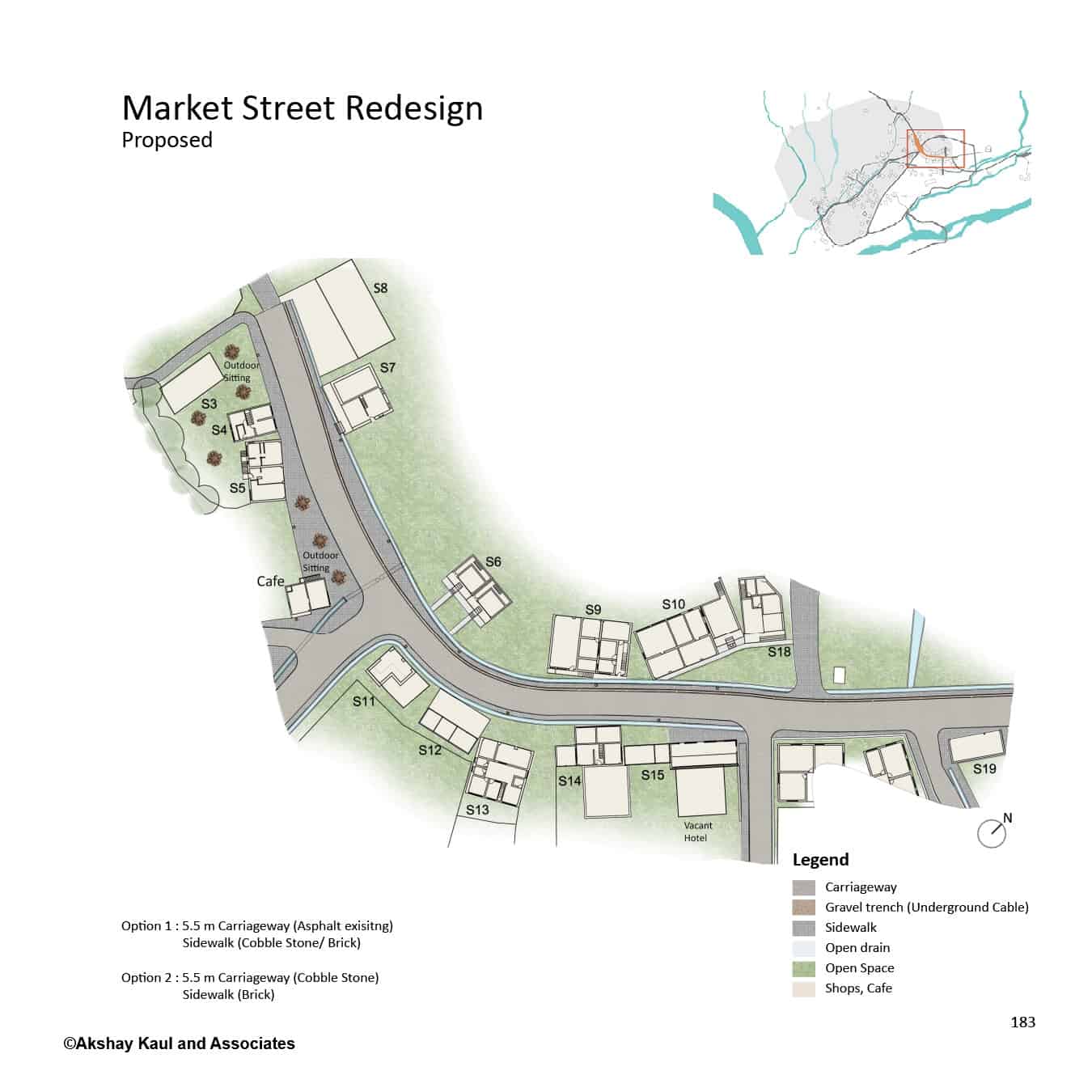
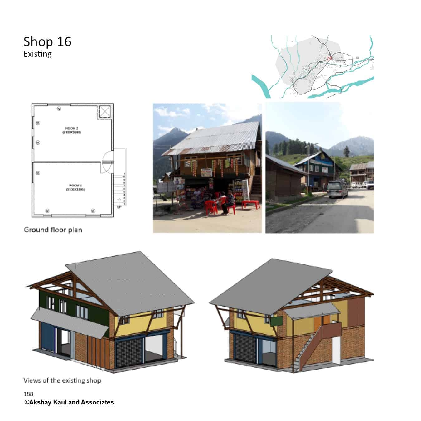
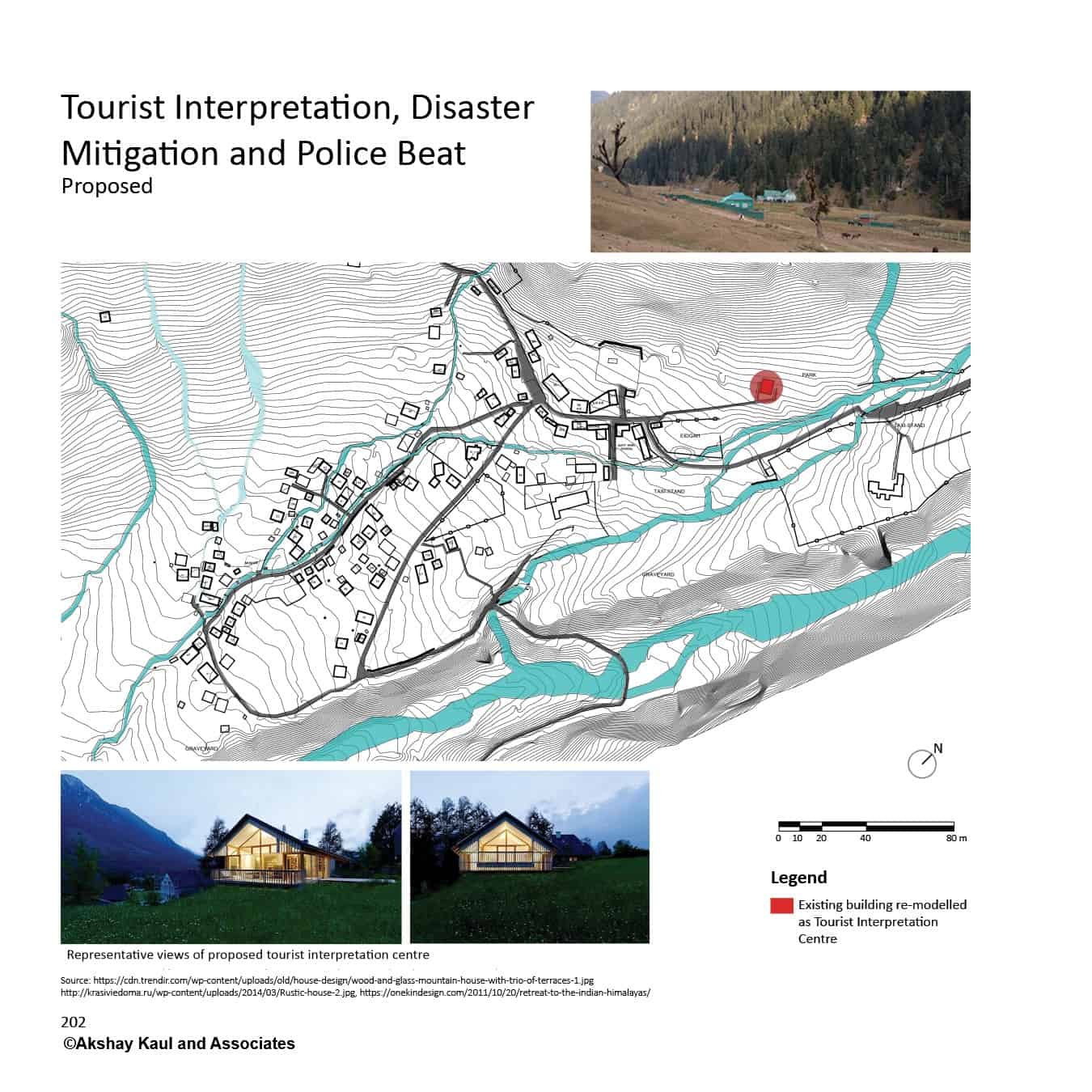
Aru Village


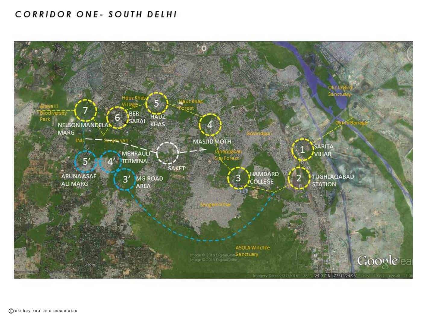
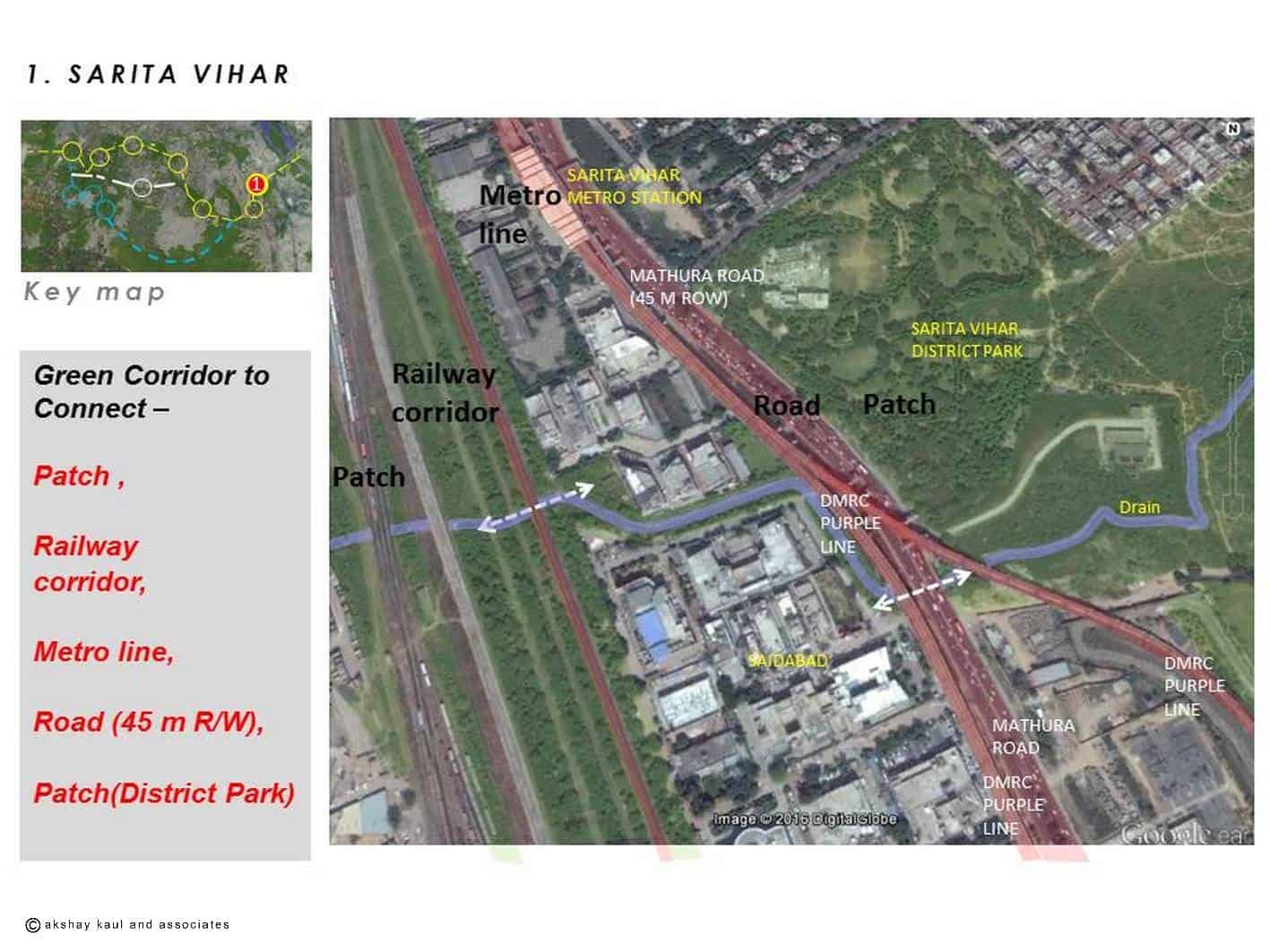
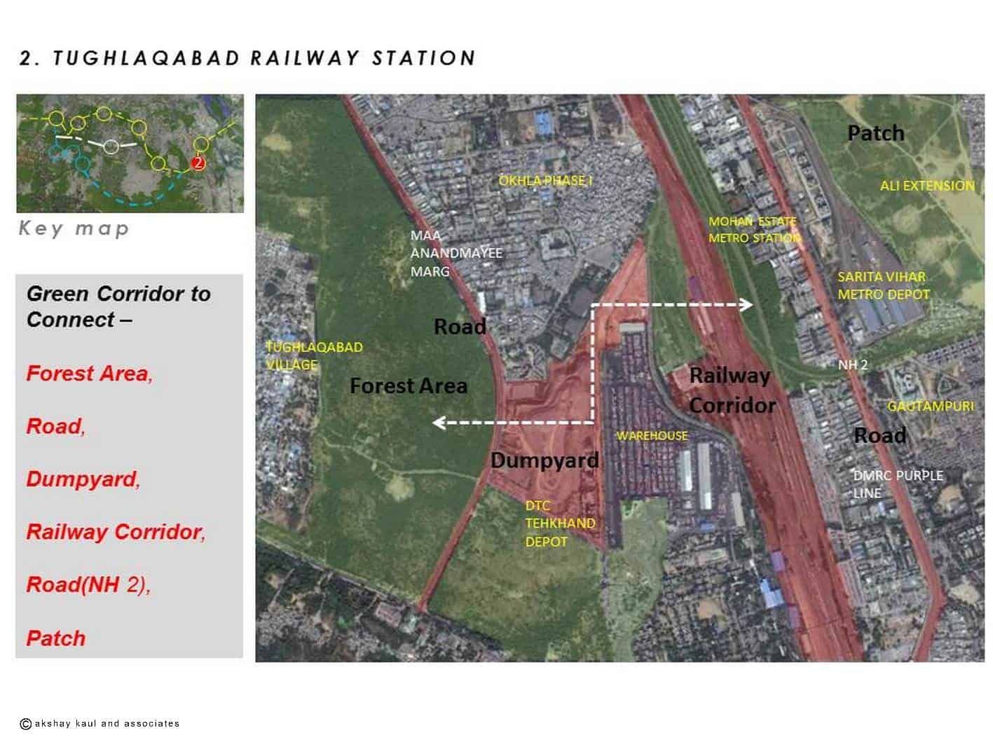
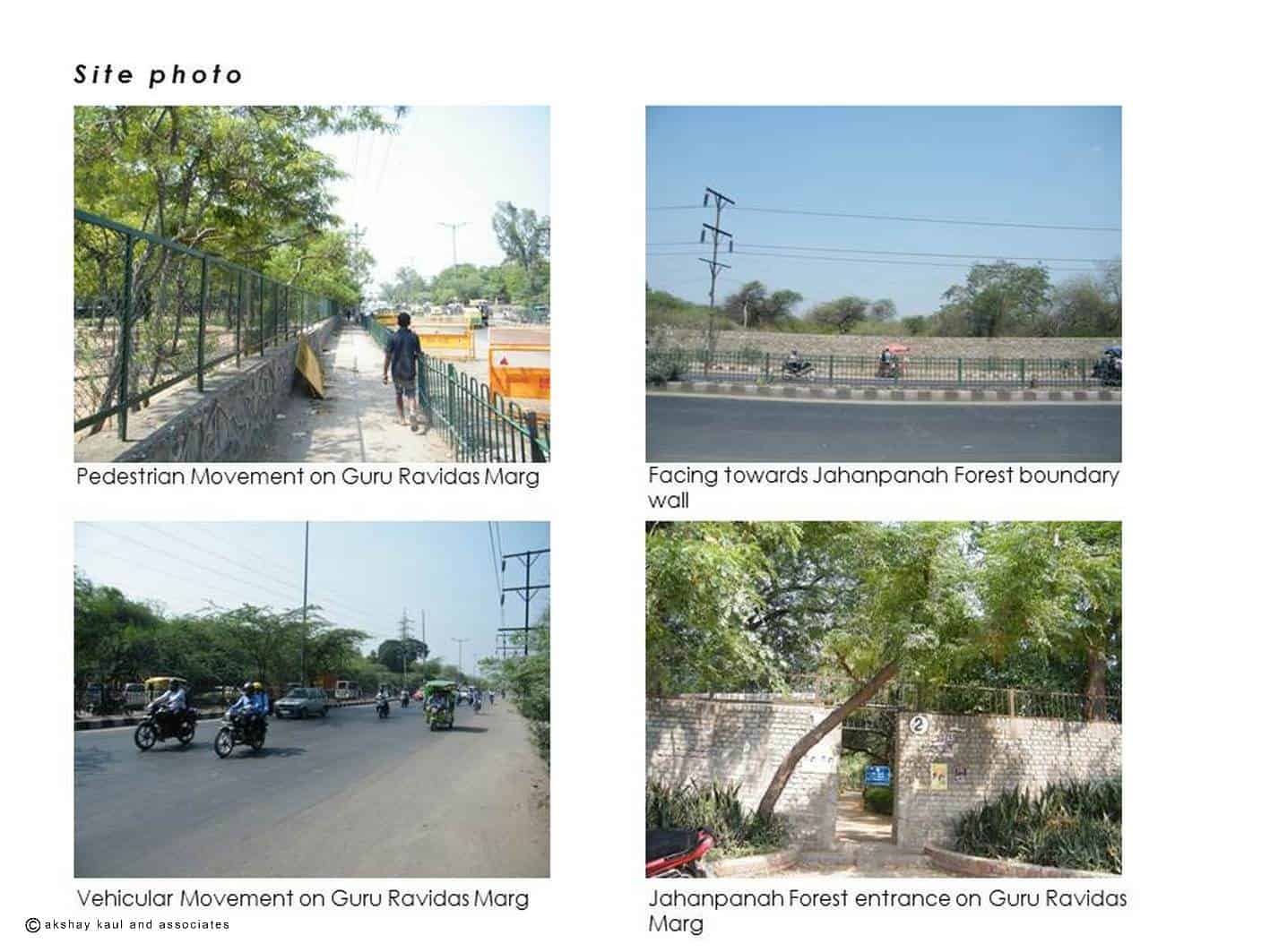
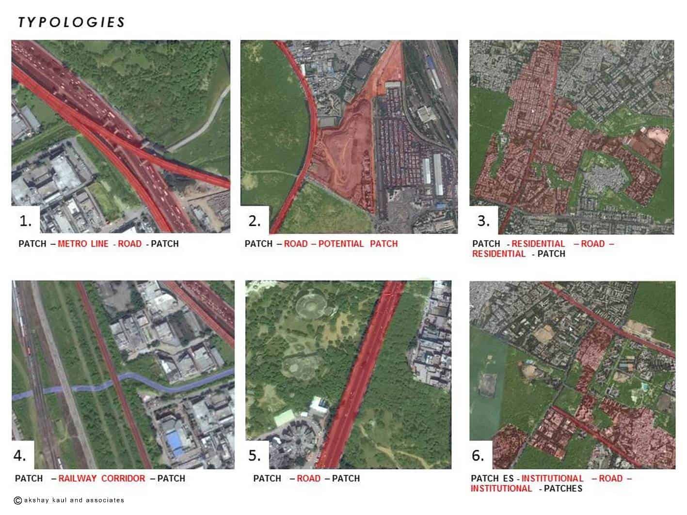
Delhi Metro MMI Phase – III (UTTIPEC)


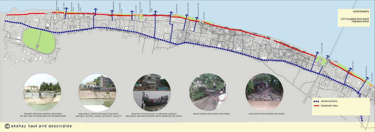
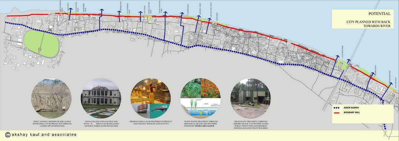
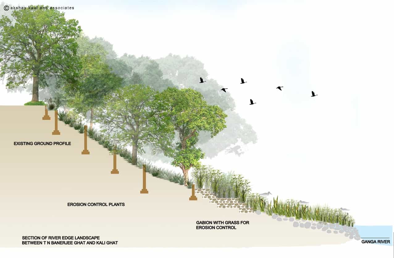
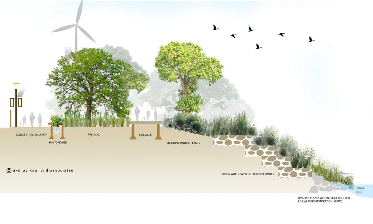
Ganga Riverfront


Athwajan Stone Quarry Park
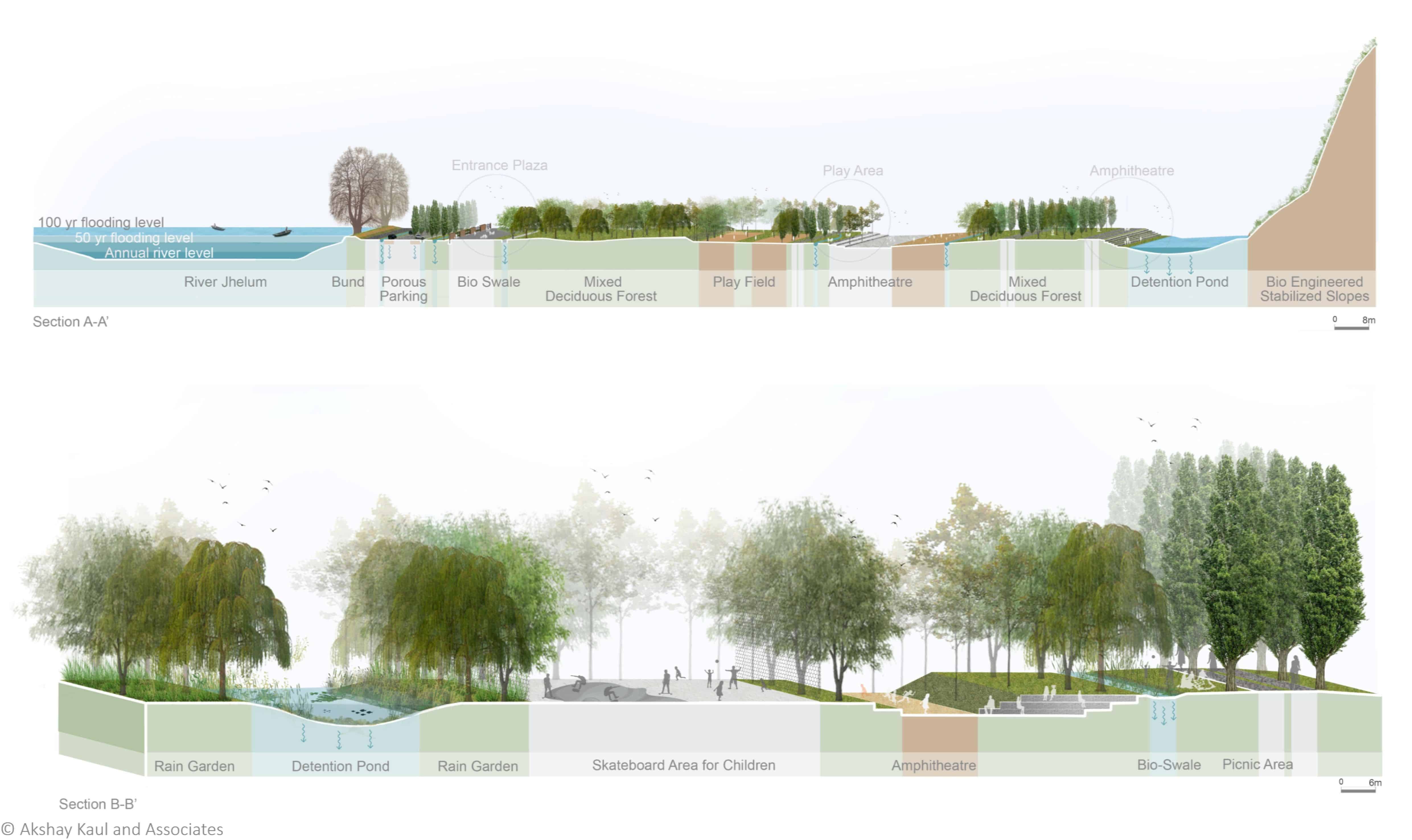
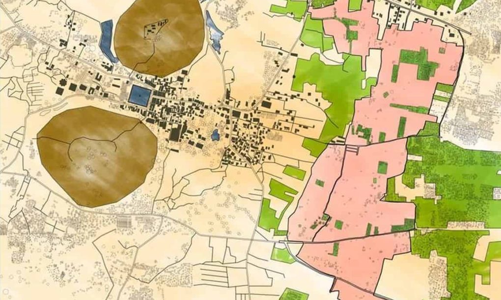
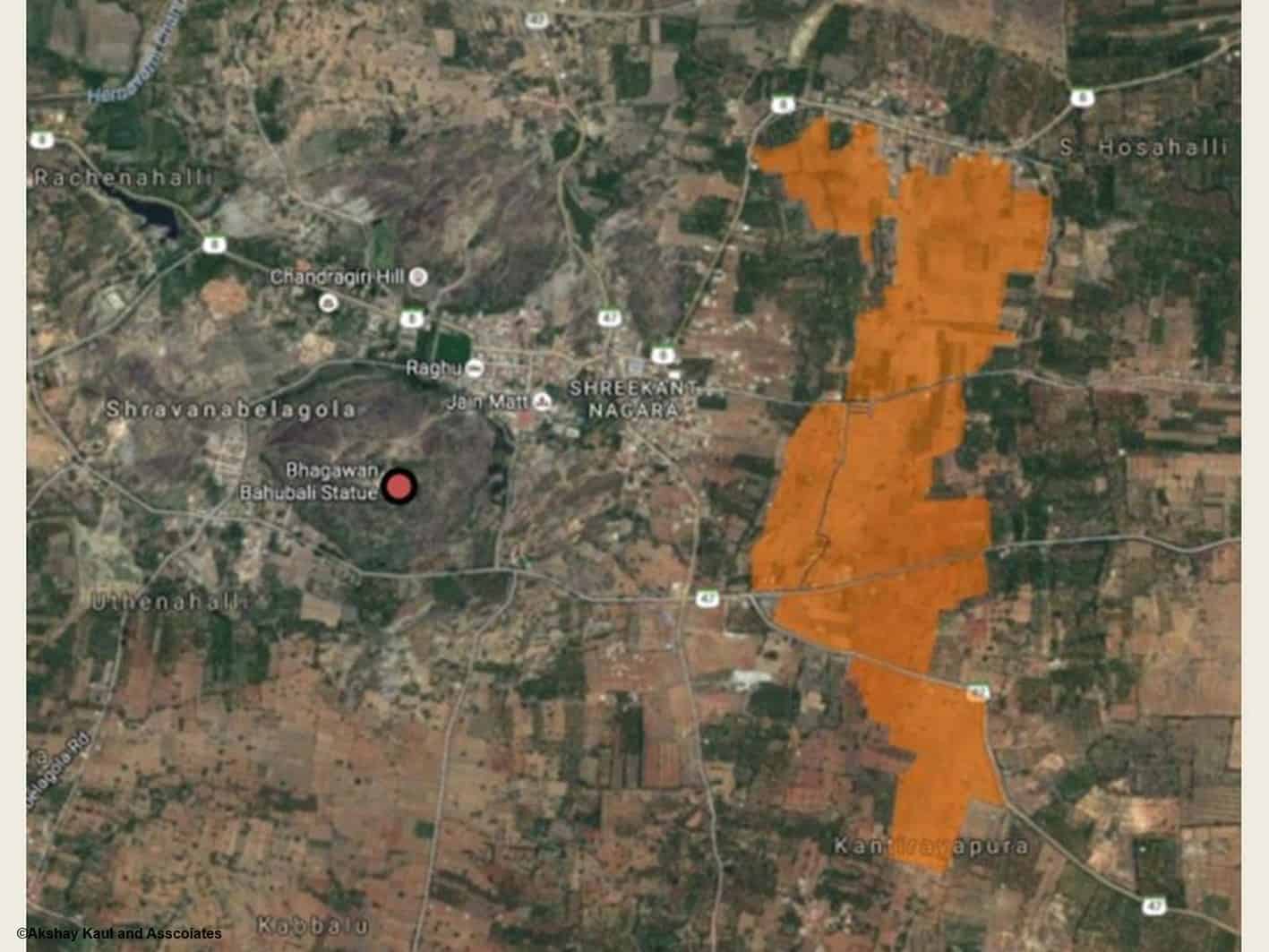
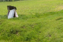
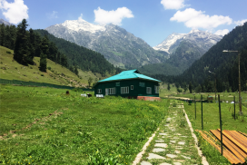
Located in Srinagar, Jammu, and Kashmir, India, along the highway this existing quarry site was closed to make way for a park with playfields. It is located between the River Jhelum on the West and the Zabarwan Mountains on the East and North. This valley has been amidst political turmoil and almost a war like situation for the last 30 years with despair, hopelessness and high rate of unemployment and radicalization amongst the youth.
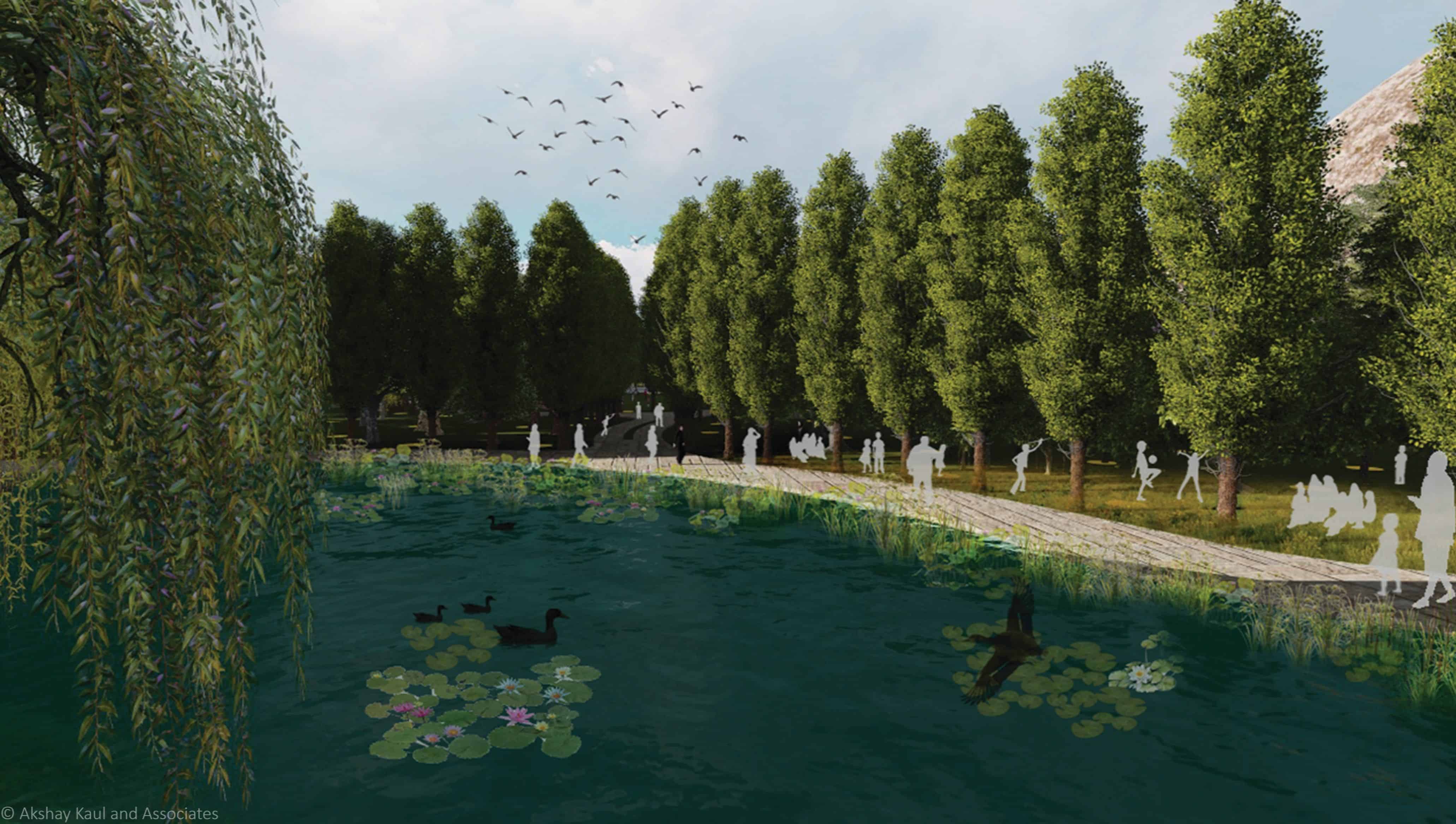
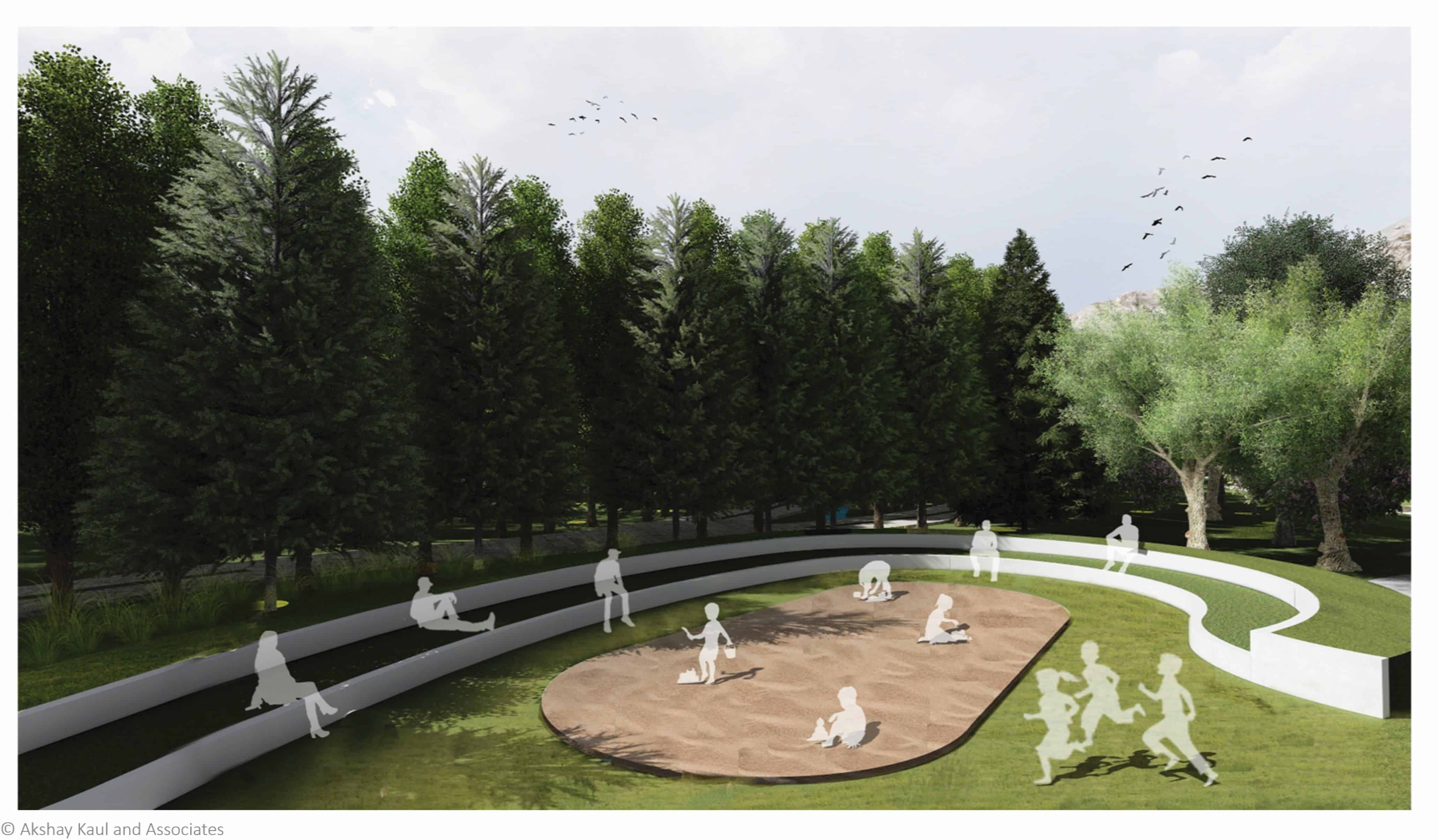
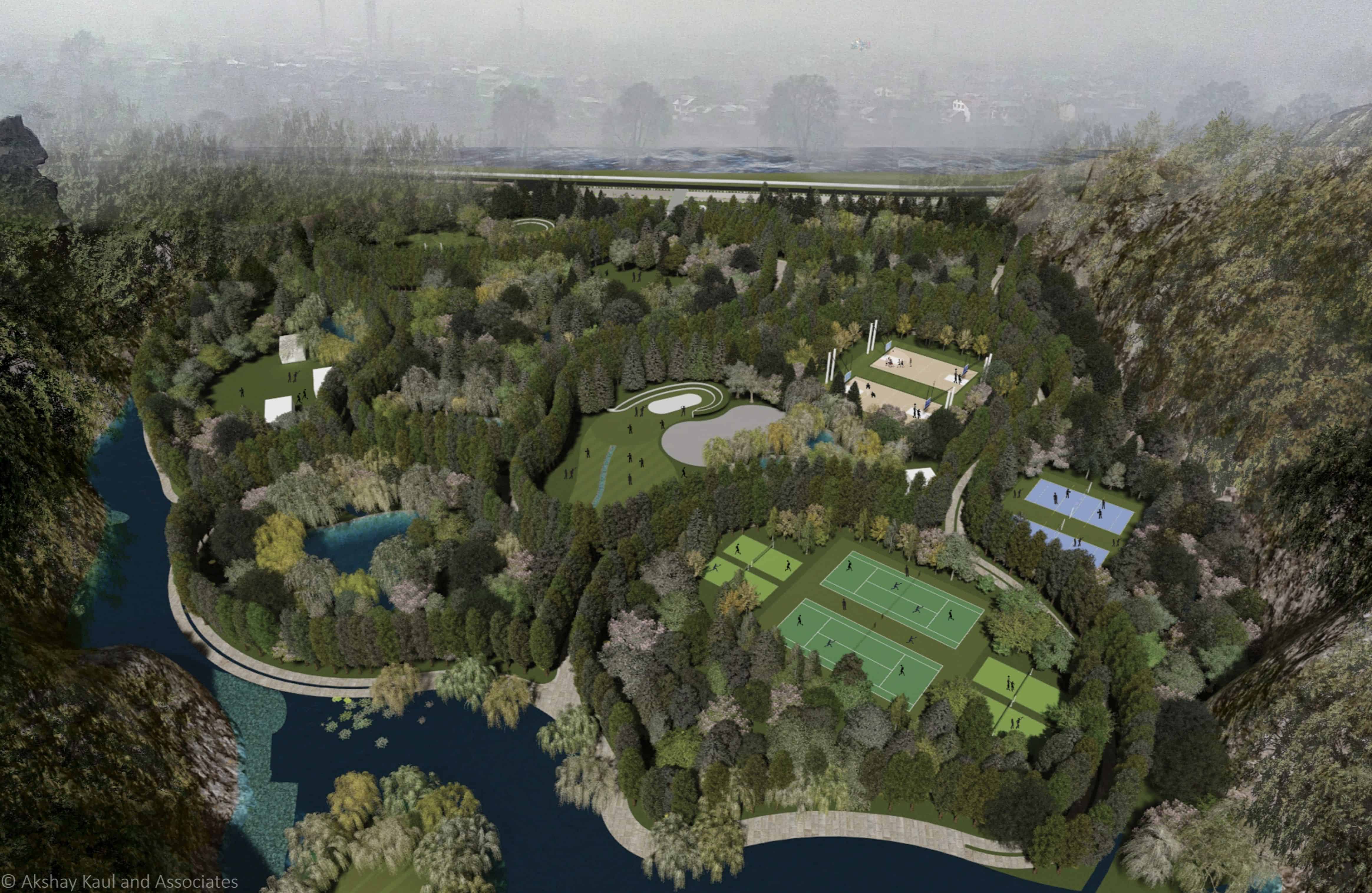
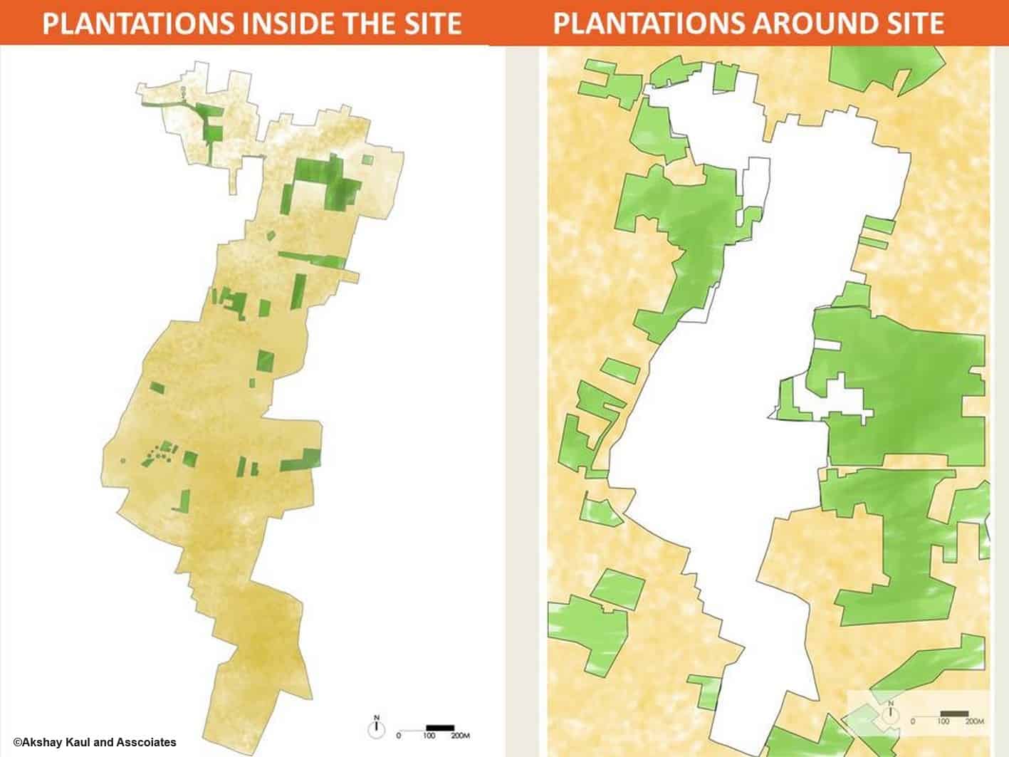
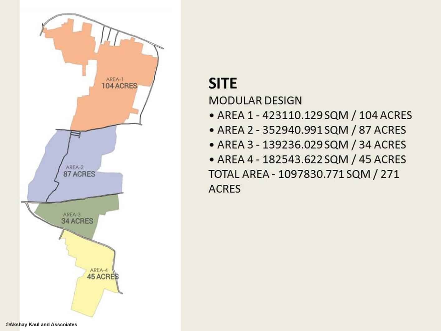
The 27-acre quarry site gets flooded annually as quarrying has lowered the ground level. The loose or fractured exposed quarried rocky surface forms the natural ground now. The site’s social and ecological context was the basis for the design. The core vision was to create a landscape that would be able to deal with annual flooding and through bio-engineering restore the quarried mountain slopes. Extensive social survey of the communities formed the basis of the program for the landscape. New and diverse sports activities were designed to engage all sections of the society and especially the youth with yoga, mountaineering, and Skate Board. Communities spaces for gathering, events, marriages have been provided and a wayside restaurant for generating revenue for operation and maintenance for the park. This wilderness and bio-diversity park would also function as an inspiration and new model for land development.

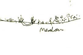
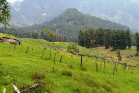
The ROW along the Highway has been proposed to be widened and parking is integrated with bio-swales and detention ponds that would take care of the runoff from the highway and the parking lot. The arrival court would give a stunning and filtered view of the mountain to the East. The circulation in the park is guided by the poplar trees that once formed avenues along important highways in the valley and would rekindle the association. Soil from the dredging of the lakes and River Jhelum is proposed to be re-used to establish the meadow and grass landscape. Meadows replace the traditional lawns that would now bloom in the spring and extend till the summers. The retention and detention ponds and bio-swales are lined with willow trees which has a traditional association of the natural streams in the valley. Native deciduous tree species are proposed as part of the urban wilderness to create tranquil spaces for yoga, meditation, healing, and contemplation. Fragrant perennial shrubs are proposed to attract bees, butterflies, and birds.
Client- Government of Jammu & Kashmir